Via ecoRI News (ecori.org)
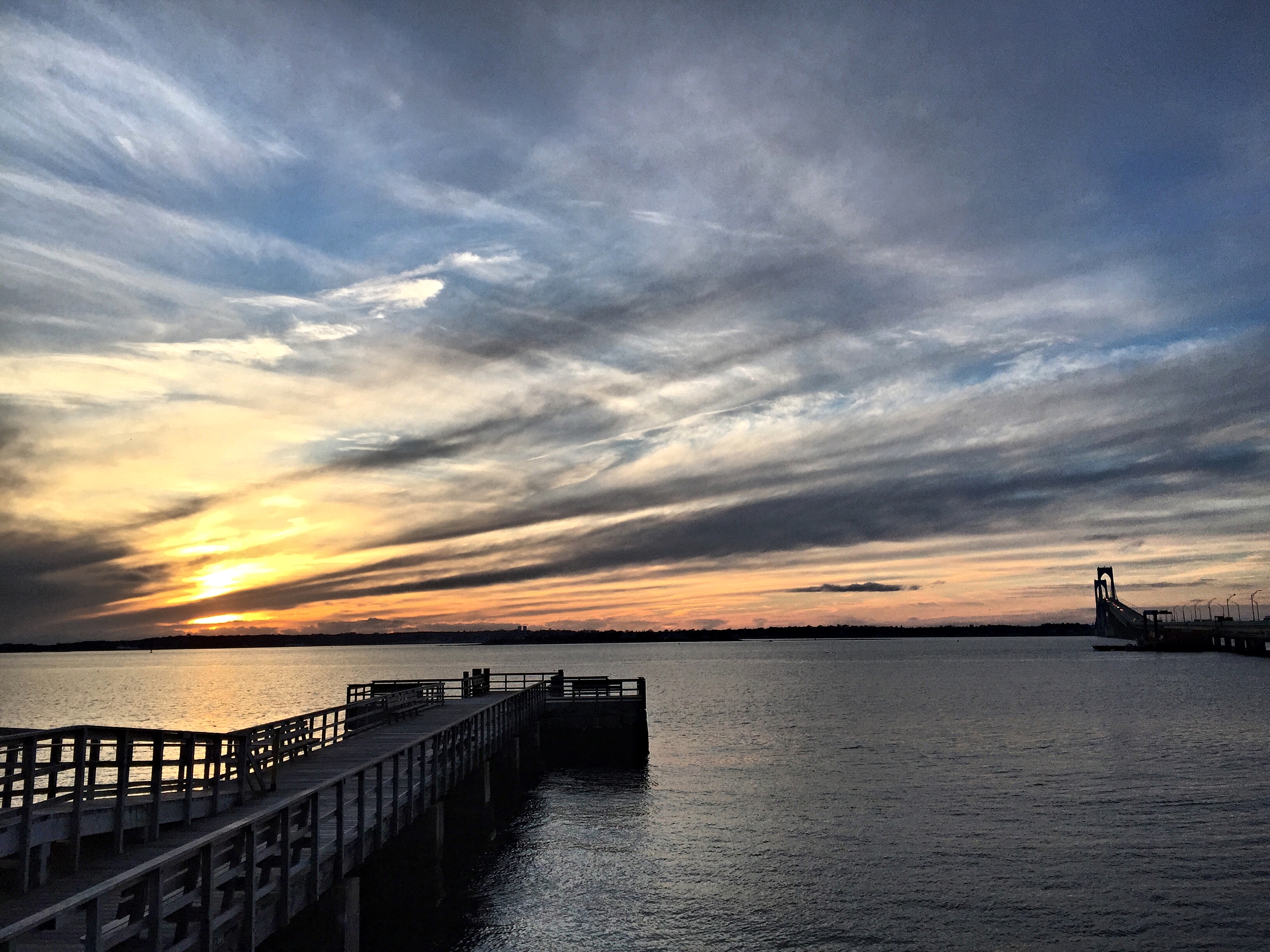
A stitch in time saves nine. A cat has nine lives. Baseball legend Ted Williams wore No. 9. Unfortunately for Rhode Island, nine is also the new number for the feet of projected sea-level rise.
Just a few years ago, the upper estimate for sea-level rise was 3 feet. More recently, it was 6.6 feet. But a recent assessment by the National Oceanic and Atmospheric Administration (NOAA) projects sea-level rise to increase in Rhode Island by 9 feet, 10 inches by 2100.
“To put in perspective we’ve had 10 inches (of sea-level rise) during the last 90 years. We’re about to have 10 feet in the next 80 years,” said Grover Fugate, executive director of Rhode Island’s Coastal Resources Management Council (CRMC).
Fugate made the remarks during a recent environmental business roundtable featuring the state’s top energy and environment officials: Fugate; Janet Coit, executive director of the Department of Environmental Management; and Carol Grant, commissioner of the Office of Energy Resources.
Coit and Grant highlighted the positive trends in Rhode Island's “green economy,” such as growth in renewable energy and the fishing industry. Fugate spoke last and, referring to himself as the “Debbie Downer” of the meeting, straightaway delivered the bad news facing the state from climate change.
“I’ve been director here for 31 years and the numbers we are seeing are staggering to me,” Fugate said of the NOAA report. “The changes we are going to see to our shoreline are profound, dramatic, and there is going to be a lot of economic adjustment going forward."
The major upward revision in sea level-rise projections, he said, will be transformative to life in Rhode Island, particularly along the coastal region of Washington County and much of Bristol County and Warwick.
To drive the point home, Fugate showed photographs of severe beach erosion along Matunuck Beach in South Kingstown. The shoreline there has been eroding at a clip of 4 feet annually since the 1990s. Recently, the rate climbed to 8 feet a year. That level was calculated before NOAA released the latest projected increase in sea-level rise.
Higher seas, Fugate said, create a multiplier effect that intensifies coastal erosion and flooding. Tides and storm surges reach further inland. Climate change also produces stronger wind and rain events. Thus, a storm classified as a 50-year event can cause the same damage as a 100-year event, according to Fugate.
The recent NOAA report says the principal cause for higher seas is the melting of land-based ice sheets in Greenland and Antarctica. Since 2009, the region from Virginia north to the Canadian Maritime Provinces has experienced accelerated sea-level rise due to changing ocean currents in the Gulf Stream. NOAA expects that trend to continue.
According to the report, the impact of prolonged sea-level rise will be loss of life, damage to infrastructure and the built environment, permanent loss of land, ecological transformation of coastal wetlands and estuaries, and water-quality impairment.
Those impacts, Fugate said, are already here and being felt. He showed slides of storm drains flowing backwards and flooding parking lots during regular high tides, and buildings that are becoming islands. Coit noted that wetlands and marshes are essentially drowning in this higher water.
“The future is here now,” Fugate said. “It’s here and we are seeing profound changes.”
To combat climate change, coastal buildings are being elevated thanks to federal incentives. The CRMC also has permissive policies that allow for the rebuilding of sea walls damaged by these more forceful storms and accelerated erosion.
Several environmental engineers and municipal planners at the recent meeting raised questions about the need for policies and regulations to address threatened infrastructure, such as septic systems, utilities, and spoke about the risk of inland river flooding. Their queries suggested that the state is taking a piecemeal approach to a vast problem.
The environmental group Save The Bay has criticized an Army Corps of Engineers plan to provide funding to elevate homes along the Rhode Island coast from Westerly to Narragansett, R.I. Fugate said that plan has flaws, but endorses the concept as the best solution for protecting property owners.
Save The Bay, however, wants greater consideration given to migration away from the coast. Retreat from a receding shoreline, it argues, protects people, as well as the ecological health and resilience of the natural resource that defines the Ocean State.
“Are we going to elevate homes that can’t be reached because the roads are under water?” asked Topher Hamblett, Save The Bay’s policy director. “I think the state needs a long-term strategy about moving back from the coast.”
Hamblett portended that coastal retreat would greatly impact the real-estate market and present enormous challenges for policymakers and elected officials.
“But this is so big on so many levels that unless and until we start really seriously planning to move back out of harms way, we are going to inflict a lot of otherwise avoidable damage on ourselves,” Hamblett said.
Fugate and Coit said elevating buildings may not be the best option, but it's the only one currently with funding. If approved, it would provide about $60 million of federal relief money apportioned after Hurricane Sandy.
“Yes, the money would be better spent in another way,” Coit said. “Could we protect more land on the shore and in the flood plains? Could we help people move out all together through a buy-out program? Could we look at infrastructure that helps the whole public instead of the individual homeowner?”
Fugate said the problem is compounded by federal flood-insurance maps that created immense controversy in 2013, when the Federal Emergency Management Agency released inaccurate flood-zone maps. Those maps led to astronomically high insurance premiums for some and rampant confusion among others living on or near the water.
Fortunately, Fugate said, the CRMC and the University of Rhode Island have designed interactive maps forecasting the impacts of sea-level rise, coastal flooding and storm surge. The modeling behind those maps is helping remedy the flood-map problem. Nevertheless, Fugate encouraged anyone with property in a flood zone to buy flood insurance.
Coit said the state is in a good position to address sea-level rise and climate change by following the same model that led to the development of the Block Island Wind Farm. The Ocean Special Area Management Plan (Ocean SAMP) brought together federal, local and private stakeholders to craft a plan for mapping out public and private uses for offshore regions. CRMC is working on a similar Shoreline SAMP to address long-term coastal planning.
Coit said the state Executive Climate Change Coordinating Council (EC4) is already addressing comprehensive climate-change planning for the state. The EC4 recently released an assessment of Rhode Island's greenhouse gas-emissions reduction plan. It’s now scrutinizing flooding at wastewater treatment facilities, among other threats from climate change.
“I think we are in a good place for Rhode Island to really look holistically at a resiliency and adaptation plan that takes into account all of the issues,” Coit said.
Most of the EC4’s funding comes from the Environmental Protection Agency. CRMC gets half of its budget from the Department of Commerce. But Coit, Grant and Fugate say President Trump’s hostility toward climate change won’t curtail state planning efforts, much less the realities of sea-level rise and global warming.
While the NOAA report doesn’t offer its own solutions, it concludes that sea-level rise is unrelenting.
“Even if society sharply reduces emissions in the coming decades, sea level will most likely continue to rise for centuries,” according to NOAA.
Tim Faulkner writes for ecoRI News.